Outdoor Recreation
Winter, spring, summer, fall ... there's year-round recreation
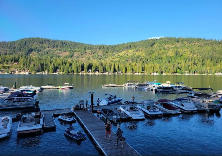
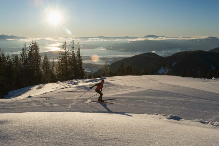
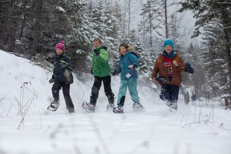
Each season brings a new variety of fun to be had in the Great Outdoors of Sandpoint and northern Idaho.
All Outdoor Recreation
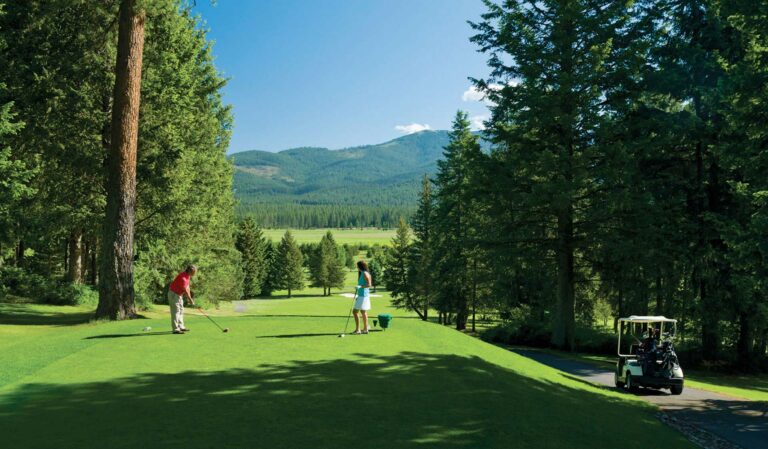
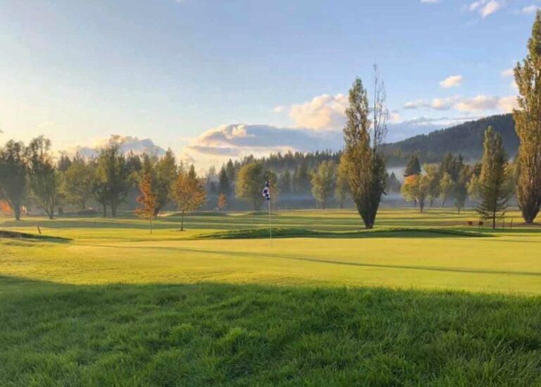
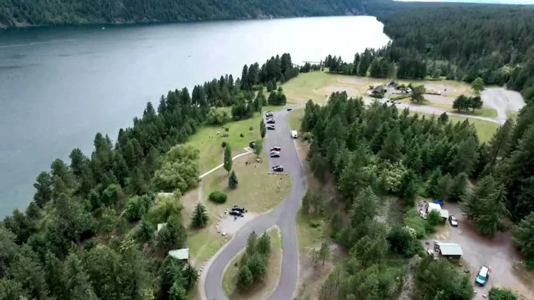
Welcome to The Priest Lake Golf Course, North Idaho’s hidden gem. Conveniently located just minutes from Hill’s Resort, our golf course offers spectacular natural settings amid lofty mountains and a magnificent lake that is sure to please the whole family. Our 18-hole, par 72 championship course provides an unrivaled experience for golfers of all abilities, playing over 6200 yards from the championship tees and over 5600 from the whites.
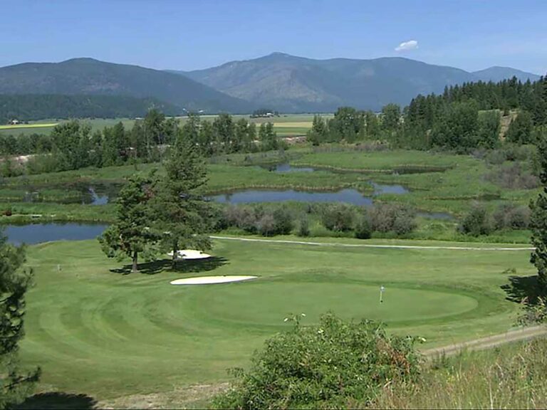
With plenty of challenging carryovers, rolling hills, wetlands, and ponds, set amidst the breathtaking scenery of Priest Lake, you are bound to enjoy your time here. Come join our friendly staff at the newly renovated Sandbaggers Bar & Grill inside the clubhouse at Priest Lake Golf Course for breakfast, lunch, or a cocktail with friends and family!
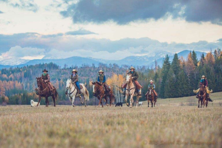
During the summer months, guest ranch vacation packages include lodging in one of our lodge rooms or log cabins, daily horseback rides, three country gourmet meals daily, evening entertainment and access to all guest ranch amenities. During the fall, winter and spring, enjoy a Bed and Breakfast stay in a lodge room or rent a cabin for a cozy get away. Two hour guided horseback rides are available in the Fall and Spring. When the snow flies, enjoy an old fashioned sleigh ride. Group retreats, family reunions, dinner parties and holiday gatherings are also available. We specialize in personalizing your dude ranch stay to fit you. Relaxing or riveting… it’s all up to you.
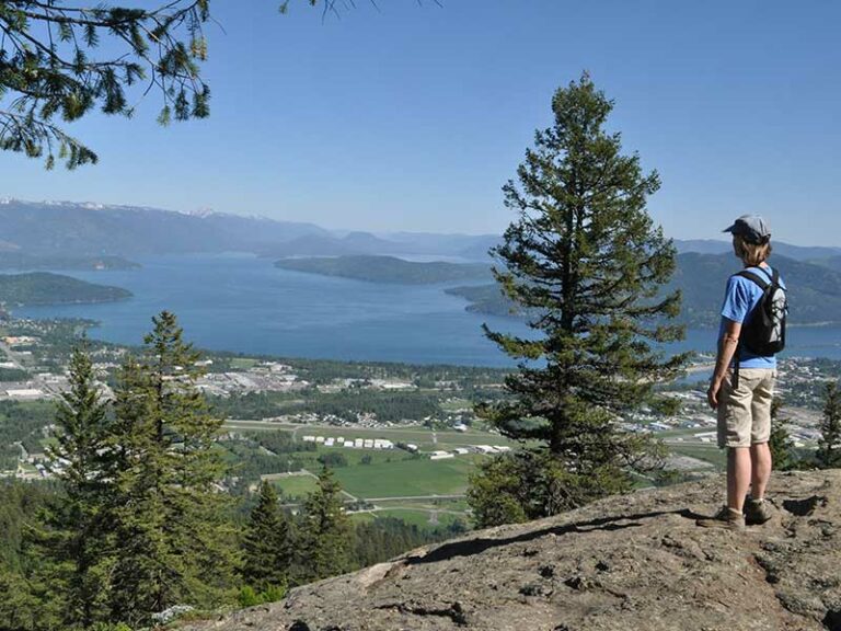
One of the closest and nicest hikes adjacent to Sandpoint, the Mickinnick is a challenging trail that rises more than 2,000 feet in its 3.5-mile length (meaning, a round-trip hike is 7 miles). But the workout is certainly worth it, affording splendid views as you climb up through big granite features amid open forests and spring-summer wildflowers. On warm summer days, the east-facing aspect of the trail makes it more user-friendly in the afternoon. The trail ends on a rocky knob commanding a view of Sandpoint, the Long Bridge, the Cabinet Mountains and Lake Pend Oreille. Use the Google map to navigate to the trailhead parking, at roughly 400 Woodland Drive, or click to the Forest Service map and elevation profile.
This challenging trail rises more than 2,000 feet in its length (the hike is 7 miles round trip) – that’s a workout, especially on a warm summer day. The east-facing aspect of the trail makes it more user-friendly in the afternoon. The trail leads through open forest on a rocky hillside, and ends on a rocky knob commanding a view of Sandpoint, the Long Bridge, the Cabinet Mountains and Lake Pend Oreille.
Trail particulars: To get to the trailhead from Sandpoint, take Highway 95 north 1.3 miles to Schweitzer Cutoff Road; turn left and go a half mile; turn right and go less than a mile to turn left on Schweitzer Mountain Road (at Schweitzer Sign); go one-half mile to Woodland Drive; turn left and go 0.7 miles. The trailhead parking, with pit toilet, water and map, is on the right.
Here’s an easy ride or walk that provides a starting and ending spot in Garfield Bay along Lake Pend Oreille, with a swimming beach, marina and dining opportunities at the Captain’s Table, or a stop during the ride at the fine, undeveloped Green Bay cobblestone beach. This route as suggested below is about 9 miles, mostly on back roads but including about 2.1 miles of single track on Mineral Point trail itself — challenging but rideable by beginners, with outstanding views of Lake Pend Oreille and the Green Monarchs. The trail is popular with hikers so ride carefully.
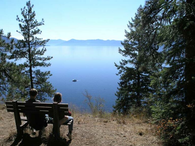
Mineral Point Interpretive Trail contours along Lake Pend Oreille about 14 miles south of Sandpoint near Garfield Bay, with magnificent views across the lake to the Green Monarchs. This lower-elevation, 2.1-mile hike or single-track bike ride is accessible starting from mid- to late spring. Get map and details for Forest Service Mineral Point Trail No. 82.
Trail description: From Sandpoint, drive six miles south on Highway 95 to Sagle, and turn east onto Sagle Road. Continue a bit more than six miles to the junction where Garfield Bay Road forks to the right and continue another roughly two miles to the waterfront village of Garfield Bay. There’s a small park in Garfield Bay; to make this ride longer, we suggest parking there in Garfield Bay and starting your ride on the backroads there. From Garfield Bay Road, find Green Bay Cutoff Road, which proceeds north. The cutoff will quickly become a gravel road; go about .4 mile and turn right onto the Mineral Point Road No. 532 (next to the red firehouse) and ride 2.2 miles on Road 532, and turn right for 0.3 miles the Mineral Point trailhead. The trail will then take you on 2.1 miles of singletrack high along the lakeshore, dropping down to the Green Bay campground and beach, a great place to stop for a swim or to hang along the lake. To complete the loop, ride back up the steep access road from the campground back to Mineral Point Road, then back to Garfield Bay.
Trail particulars: There is only about 400 feet of elevation gain and loss but you’ll ride it up and down several times. Water is available at Green Bay. At the trailhead for Mineral Point Trail there is a connector trail to a 2.1-mile singletrack loop on Lost Lake Trail 81 that makes for a good and easy side trip to incorporate into this ride.
Trail map: Click to see the map.
The Gold Hill Trail is one of the most popular for local hikers and mountain bikers, a 3.7-mile track that can be moderate or strenuous – depending on whether you hike or ride it up or down, or as most do, both ways.
If you are ready to enjoy all the adventure and scenic outdoor recreation that the Sandpoint, Idaho area offers, this is one trail that you don’t want to miss for a terrific hike or bike ride.
The trail leads uphill through a forested setting to panoramic northwest-facing views of Sandpoint across Lake Pend Oreille with the Selkirk Mountains behind.
Most start at the trailhead on Bottle Bay Road, about 8 miles south of Sandpoint; navigate to the trailhead parking by the Google map. It is possible to circle around by forest roads and access the trail up near the viewpoints.
Many mountain bikers do this as an out-and-back, starting at the trailhead for the uphill singletrack. However, some ride an extended route at the top of Trail 3, to include Gold Mountain and forest roads. Or, to make a full day that includes miles on paved and gravel backroads you can include the trail as part of an approximately 28-mile loop right from Sandpoint itself riding to the trailhead via the Long Bridge bike and pedestrian route.
This is mountain hiking and biking at its best in the Pacific Northwest!
Click for USFS trail map and details: Forest Service Gold Hill Trail No. 3.
Click for extended route details: MTB Project Gold Hill Trail No. 3.
